Home >
Maps showing Cape Hatteras...
Maps showing Cape Hatteras...
Item # 539476
Currently Unavailable. Contact us if you would like to be placed on a want list or to be notified if a similar item is available.
September 03, 1861
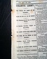
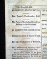
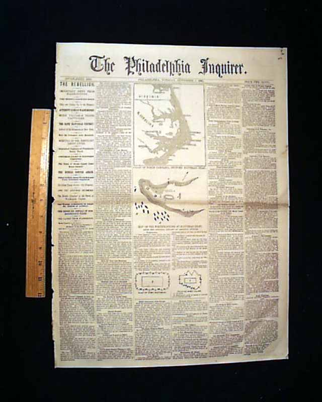
THE PHILADELPHIA INQUIRER, September 3, 1861
* Cape Hatteras North Carolina
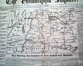
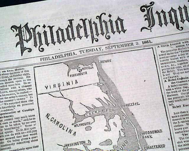
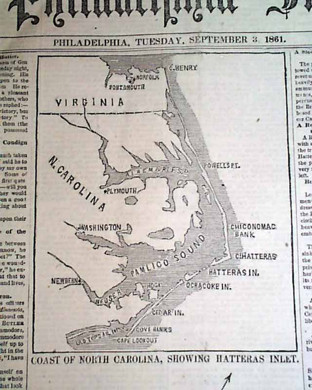
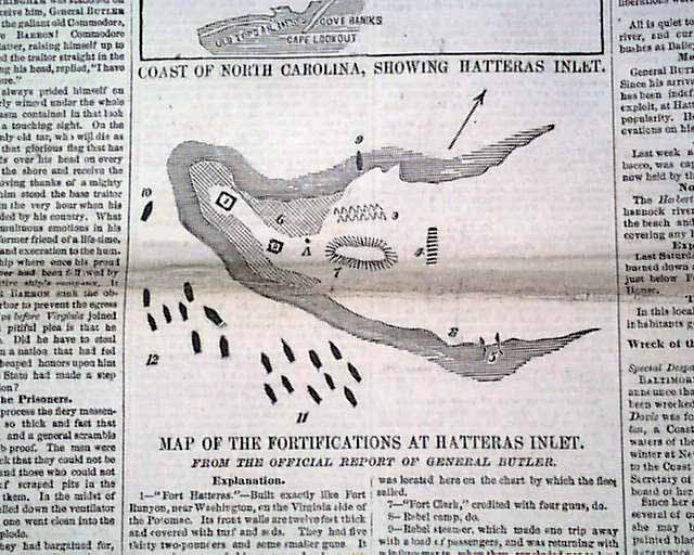
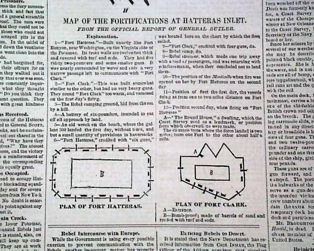
The front page includes some nice graphics, including a map captioned; "Coast of North Carolina, Showing Hatteras Inlet", actually showing from Norfolk, Virginia, to Cape Lookout, N.C. Also a: "Map of the Fortifications at Hatteras Inlet" and two small diagrams labeled: "Plan of Fort Hatteras" and "Plan of Fort Clark" (see photos).
Eight pgs., some browning across the central fold, a bit irregular at the spine, mostly nice.
Category: Yankee
No Longer Available