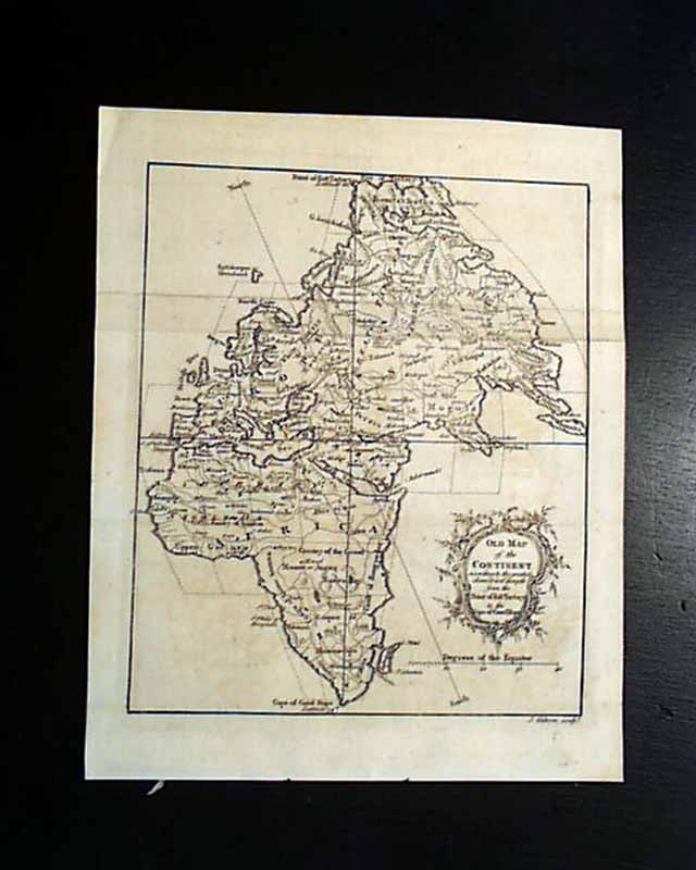
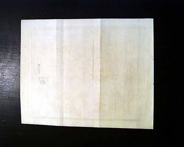
1758 map of the "Old Continent"...
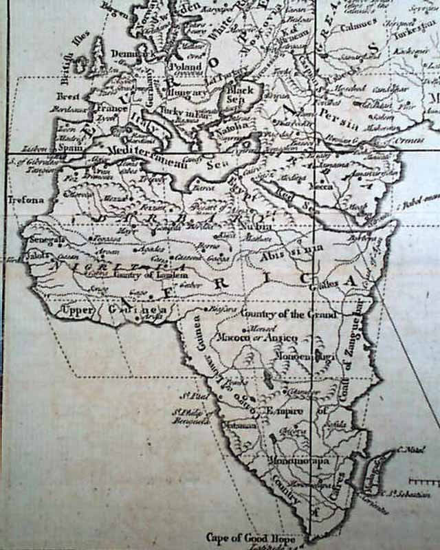
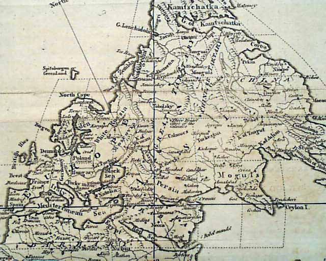
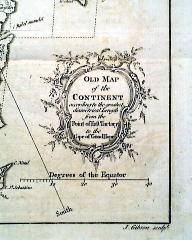
A map titled: "Old Map of the Continent according to the greatest diametrical Length from the Post of East Tartary to the Cape of Good Hope" showing all of Africa, Europe, the Middle East, Asia and various islands (see). Publisher notes that it was mislabeled; should have been: "Map of the Old Continent...". Measures 8 1/4 by 10 inches and is in great condition. Included is a copy of the title page of the volume, with its reverse side, noting the map belongs to this 1758 volume of "The Gentleman's Magazine" from London.
Other issues you may like
§ related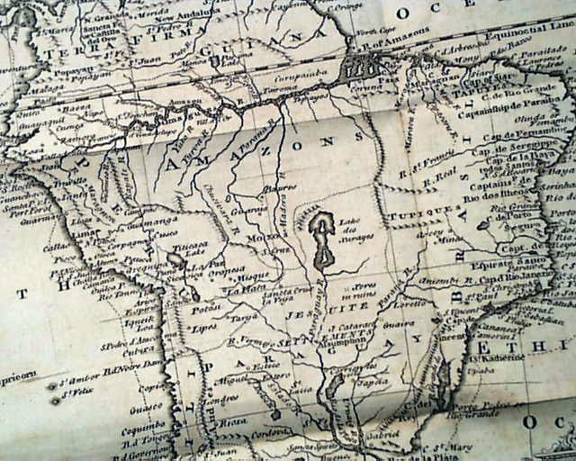
THE GENTLEMAN'S MAGAZINE, London, January, 1749 The prime feature of this issue is the very nice & detailed foldout map of "South America" which folds out
...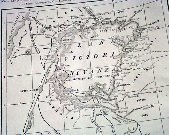
NEW YORK HERALD, Aug. 12, 1876
- Henry Morton Stanley
- Africa exploration w/ map
Page 2 is consumed by a very large map and descriptive text on Stanley's
...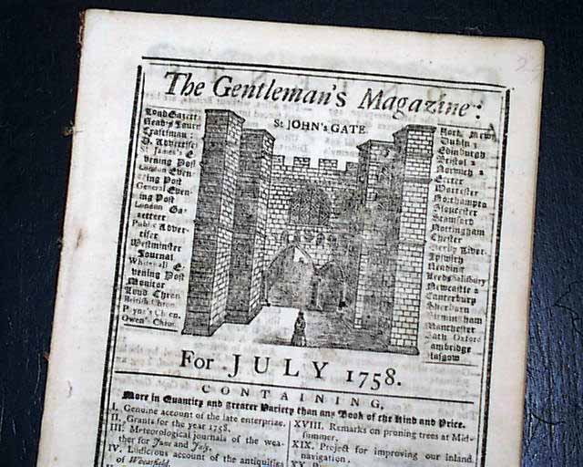
GENTLEMAN'S MAGAZINE, London, July, 1758 The prime features of this issue are the two maps, one being a full page plate titled: "A Map of the Rhine Between
...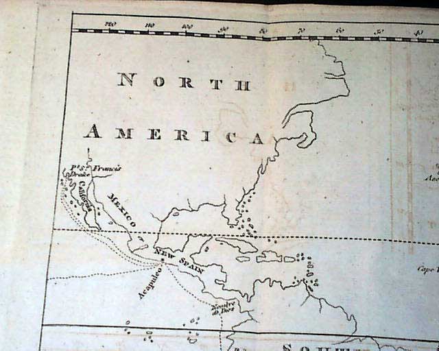
THE GENTLEMAN'S MAGAZINE, London, December, 1773
- Captain James Cook
- North America map
Certainly the prime feature of this issue is the nice foldout map that
...