
Map of the world from the North Pole...
Item # 554503Sorry, but this item is no longer available. Please be in touch at info@rarenewspapers.com if you would like to be placed on a want list or are interested in a potential alternate issue.
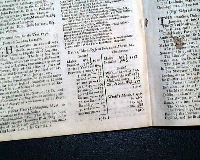
GENTLEMAN'S MAGAZINE, London, England, March, 1757
* 18th century Map of the world from the North Pole
* Pre revolutionary war era
A very nice War magazine from during the French & Indian War from the "mother country" with a wide range of varied content including news of the day, political reports, literary items, and other unusual tidbits. This was the first periodical to use the word "magazine" in its title, having begun in 1731 and lasting until 1907.
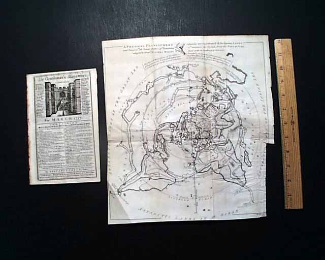
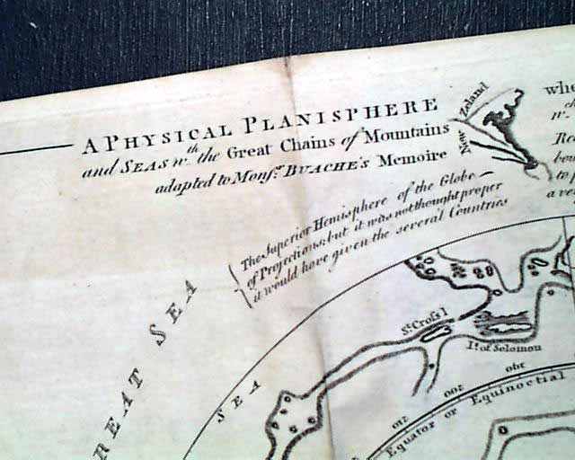
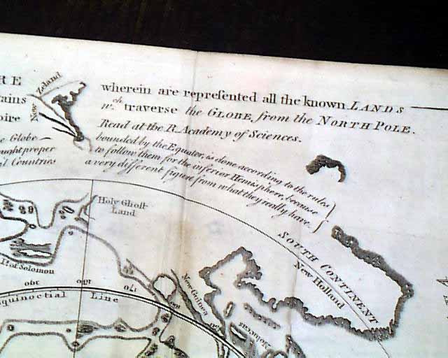
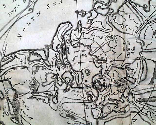
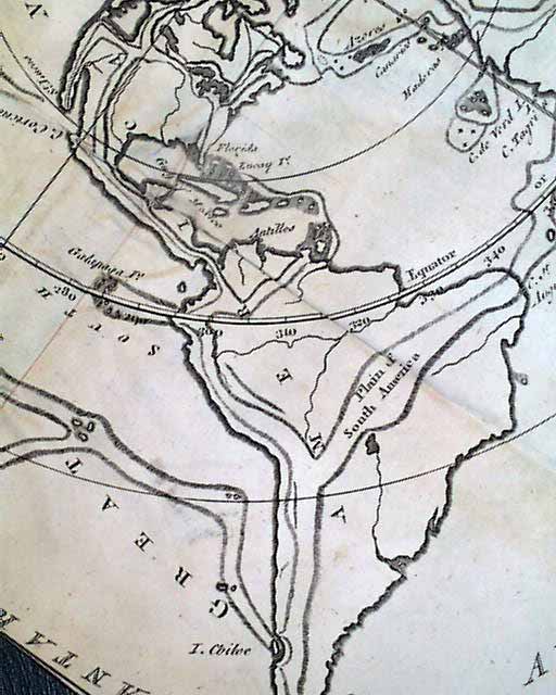
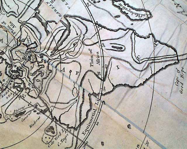
The prime feature of this issue is a large foldout map titled:
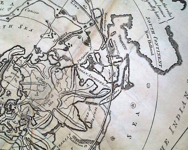
"A Physical Planisphere wherein are represented all the known Lands & seas in the Great Chains of Mountains which traverse the Globe from the North Pole..." (see photos).
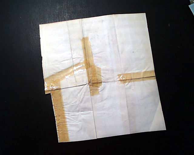
It is a map of the world from the perspective of the North Pole. Typically this map is missing from the issue due to its desirability so we are pleased to be able to offer it along with the issue. It folds out to measures 11 1/2 by 13 inches. This map is defective as the reverse has numerous old tape mends which causes some wrinkling but fortunately not causing any staining to bleed through to the front.. Close-trimmed to the bottom half of the right margin causes loss to a portion of the border We have the map held separate from the issue in its own acid-free protector.
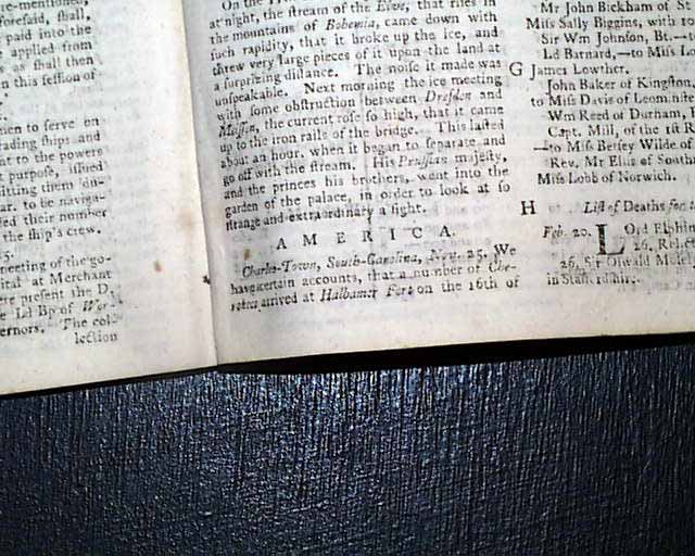
Near the back is a report headed: "America" with a report from Charleston which tells of troubles with the Indians (see).
Other articles of interest within this issue include: "Trial of the late Admiral Byng..." "Meteorological Journal" and "New Hypothesis of the Earth's configuration under the Sea"
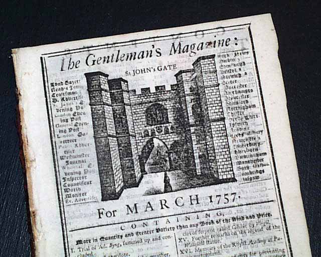
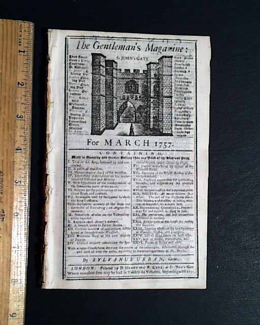
Complete in 48 pages, measures 5 by 8 inches with a full title/index page which includes an engraving of St. John's Gate. Unlike the map, the magazine is in very nice condition.
* 18th century Map of the world from the North Pole
* Pre revolutionary war era
A very nice War magazine from during the French & Indian War from the "mother country" with a wide range of varied content including news of the day, political reports, literary items, and other unusual tidbits. This was the first periodical to use the word "magazine" in its title, having begun in 1731 and lasting until 1907.
The prime feature of this issue is a large foldout map titled:
"A Physical Planisphere wherein are represented all the known Lands & seas in the Great Chains of Mountains which traverse the Globe from the North Pole..." (see photos).
It is a map of the world from the perspective of the North Pole. Typically this map is missing from the issue due to its desirability so we are pleased to be able to offer it along with the issue. It folds out to measures 11 1/2 by 13 inches. This map is defective as the reverse has numerous old tape mends which causes some wrinkling but fortunately not causing any staining to bleed through to the front.. Close-trimmed to the bottom half of the right margin causes loss to a portion of the border We have the map held separate from the issue in its own acid-free protector.
Near the back is a report headed: "America" with a report from Charleston which tells of troubles with the Indians (see).
Other articles of interest within this issue include: "Trial of the late Admiral Byng..." "Meteorological Journal" and "New Hypothesis of the Earth's configuration under the Sea"
Complete in 48 pages, measures 5 by 8 inches with a full title/index page which includes an engraving of St. John's Gate. Unlike the map, the magazine is in very nice condition.
Category: The 1600's and 1700's
